

Gandhinagar city centre is part of a planned capital city in Gujarat, India, laid out in 30 sectors around a central government complex. Sector-based shopping and community centres, a city mapping portal and public transport tools can help you orient yourself and plan trips around the city; a one-day Gandhinagar itinerary can help arrange stops across it.
- Gandhinagar is the capital of Gujarat and the headquarters of Gandhinagar district.
- The city is divided into 30 sectors around the central government complex.
- The Smart City GIS portal offers maps and searches for services and places.
- Gandhinagar Railway Station, also called Gandhinagar Capital (GNC), is in Sector 14.
How is Gandhinagar city centre organised?
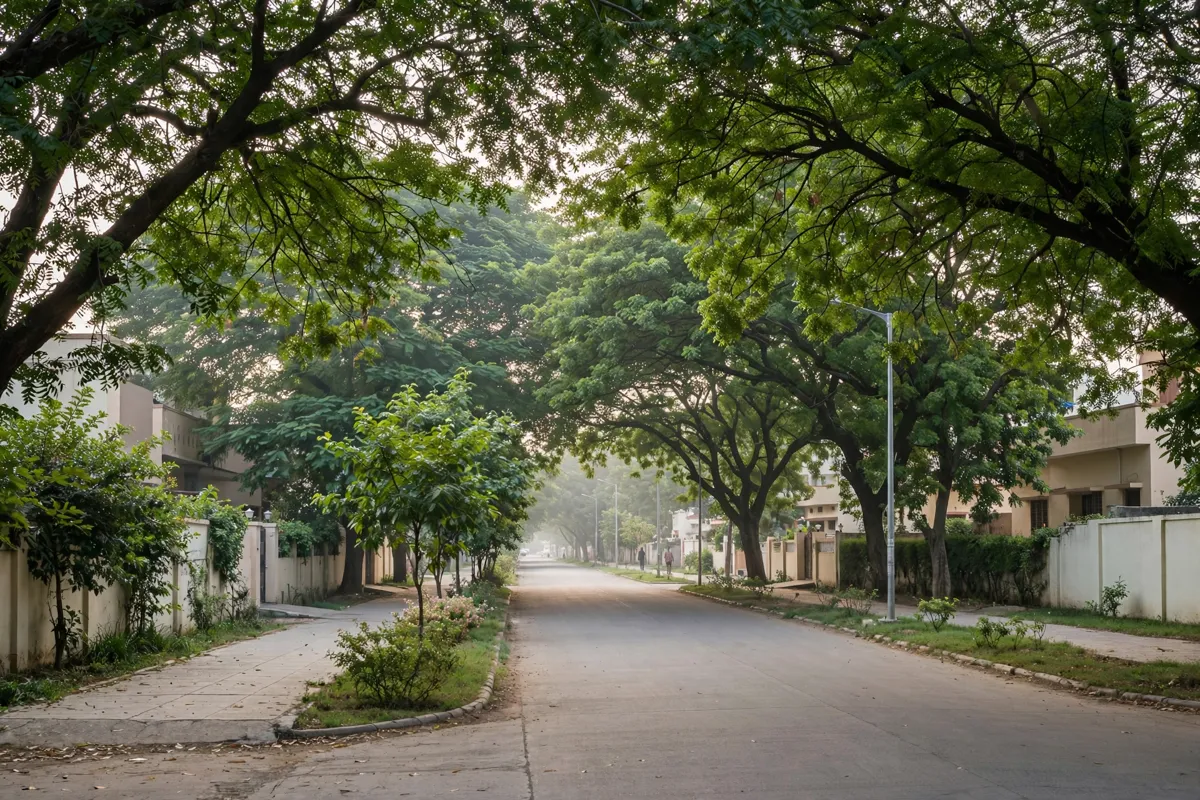
Gandhinagar is organised around numbered sectors, each with its own local facilities.
Every sector has a shopping and community centre, a primary school, a health centre, and government and private housing. The sectors extend around the central government complex, so the city centre is best understood as part of this wider planned layout rather than as a single commercial district.
Roads are numbered, while cross streets use Gujarati alphabet labels, including K, KH, G, GH, CH, CHH and J. If you are navigating by address, keep both the sector and road or cross-street label handy.
How can you find places and get around?
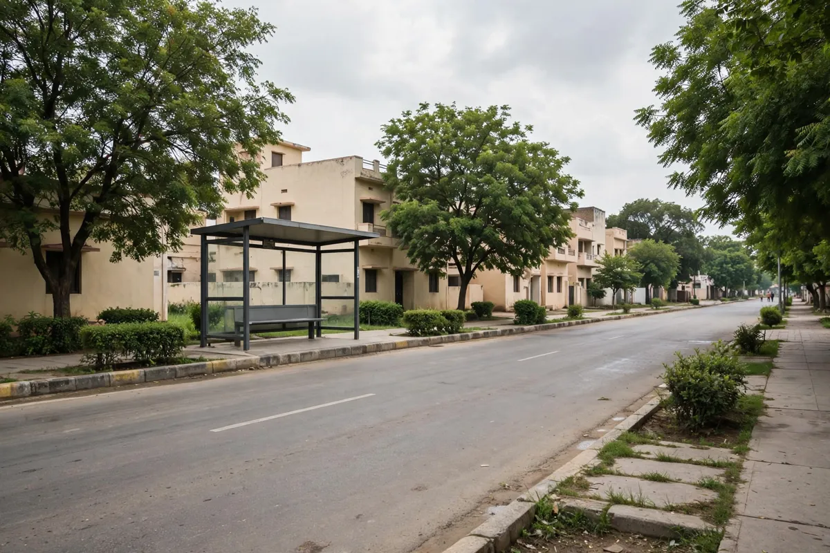
Gandhinagar’s Smart City GIS portal lets you search for locations and view city layers on a map. You can search for properties, sectors and wards, public utilities, tourist spots and other location-based services; the map also lets you select a sector or village and a plot.
The portal includes layers for hospitals, banks, ATMs, parks, toilets, hotels, footpaths, roads, railway stations, bus stops and parking. Use the layers to check the surrounding area and identify relevant locations before setting out.
For buses, Gandhinagar Transport Services Limited’s Smart City portal provides route and location searches, route and location lists, and bus timings. If you are considering metro connections, how Gandhinagar’s metro routes, stations and connections fit together is another part of local transport planning. Check the official site before you go, since bus information can change.
What parks and sights can you combine with a city-centre visit?
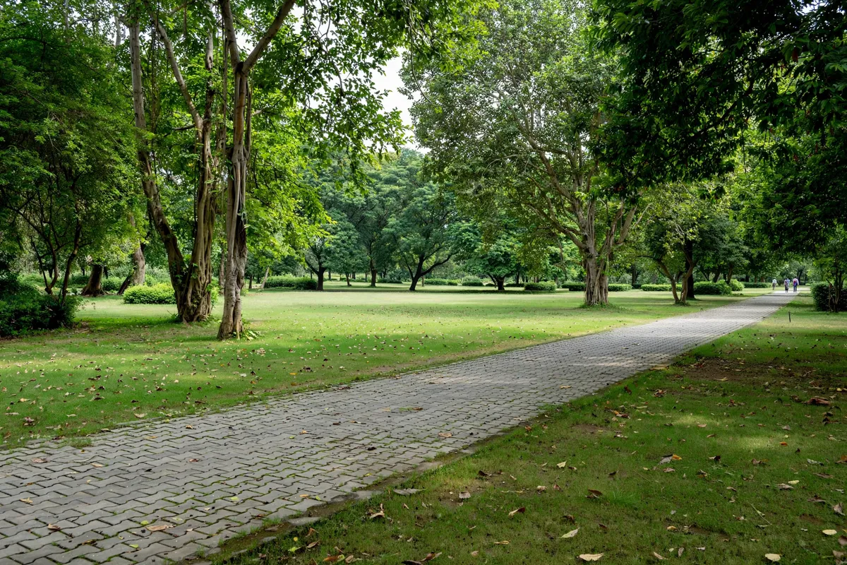
The district administration identifies Akshardham temple complex, Sarita Udhyan and the gardens at Sector 28 as tourist spots in Gandhinagar. These give you options to pair city-centre errands or orientation with a visit to a named sight or green space.
Plan a visit around Punit Van’s paths and parking with this guide to Punit Van’s paths and parking.
Gandhinagar Railway Station, also known as Gandhinagar Capital (GNC), is in Sector 14.
Gandhinagar city centre is about 17 minutes on foot from Hotel Kalash.
FAQs
How many sectors are in Gandhinagar?
Gandhinagar city has 30 sectors arranged around the central government complex. Each has its own shopping and community centre, primary school and health centre.
Where is Gandhinagar Railway Station?
What can you search for on Gandhinagar’s GIS portal?
The Smart City GIS portal supports searches for places such as hospitals, parks, bus stops and parking, as well as sectors, wards and properties. Its map view also lets you select a sector or village and a plot.