

Gandhinagar is served by Ahmedabad Metro Phase II, with stations on the Motera Stadium–Mahatma Mandir corridor and a separate GNLU–GIFT City corridor. Use Gujarat Metro Rail Corporation’s (GMRC) map and journey planner to check your route, estimated travel time and single-journey token fare.
- Main corridor: Motera Stadium–Mahatma Mandir, 22.8 km and 20 stations.
- Second corridor: GNLU–GIFT City, 5.4 km and 2 stations.
- Stations near the hotel: Sector-16, Sector-24 and Juna Sachivalaya.
- Planning tools: GMRC’s interactive map and journey planner.
How does the Gandhinagar Metro network work?
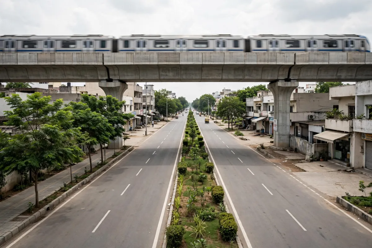
Gandhinagar’s metro stations are part of Ahmedabad Metro Phase II, operated by GMRC. The network has two corridors: Motera Stadium–Mahatma Mandir and GNLU–GIFT City.
The Motera Stadium–Mahatma Mandir corridor runs through Gandhinagar stations including Sector-1, Sector-10A, Sachivalaya, Akshardham, Juna Sachivalaya, Sector-16, Sector-24 and Mahatma Mandir. The separate GNLU–GIFT City corridor has two stations, GNLU and GIFT City.
GMRC identifies Sector-16, Sector-24 and Juna Sachivalaya as elevated stations. Confirm the station and direction for your trip on the official route map before setting out.
How do you get to the nearest metro stations?
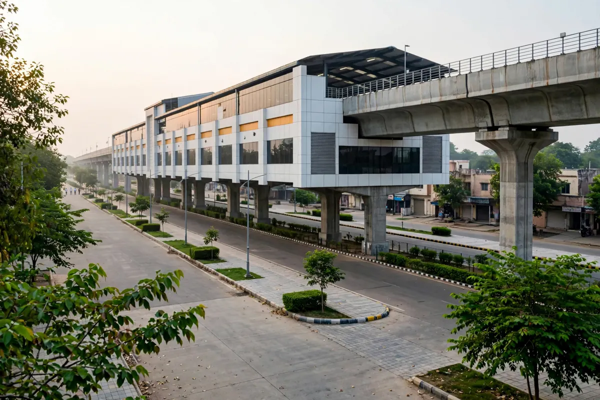
Sector-16, Sector-24 and Juna Sachivalaya are the nearby stations to consider from a hotel in Sector 16: Sector-16 is about a 10-minute walk or a 5-minute drive away, Sector-24 is about a 17-minute walk or an 8-minute drive away, and Juna Sachivalaya is about a 19-minute walk or a 7-minute drive away.
These are travel times from the hotel, not confirmation of which station entrance or route to use. Check the station locations on GMRC’s map and choose the stop that suits your journey.
How do you read the Gandhinagar metro map?
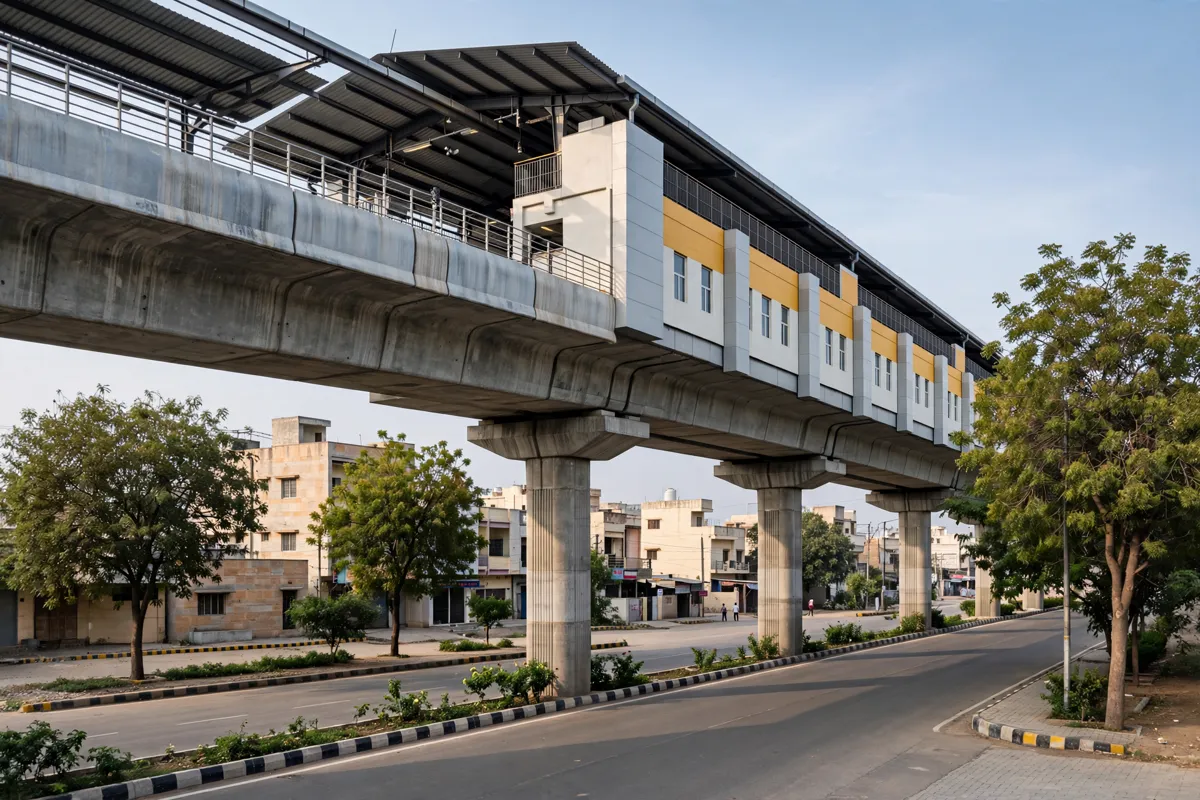
GMRC’s interactive map shows the metro routes and stations, helping you trace a journey across the two Phase II corridors. Use it to check the order of stops and locate the station you need before travelling.
For a trip that involves a change of corridor, consult the map for the route rather than assuming that every station connects directly. GMRC’s journey planner can also show an estimated travel time for a selected journey.
The Gandhinagar city-centre guide covers the area beyond the metro corridor.
How do fares, service hours and tickets work?
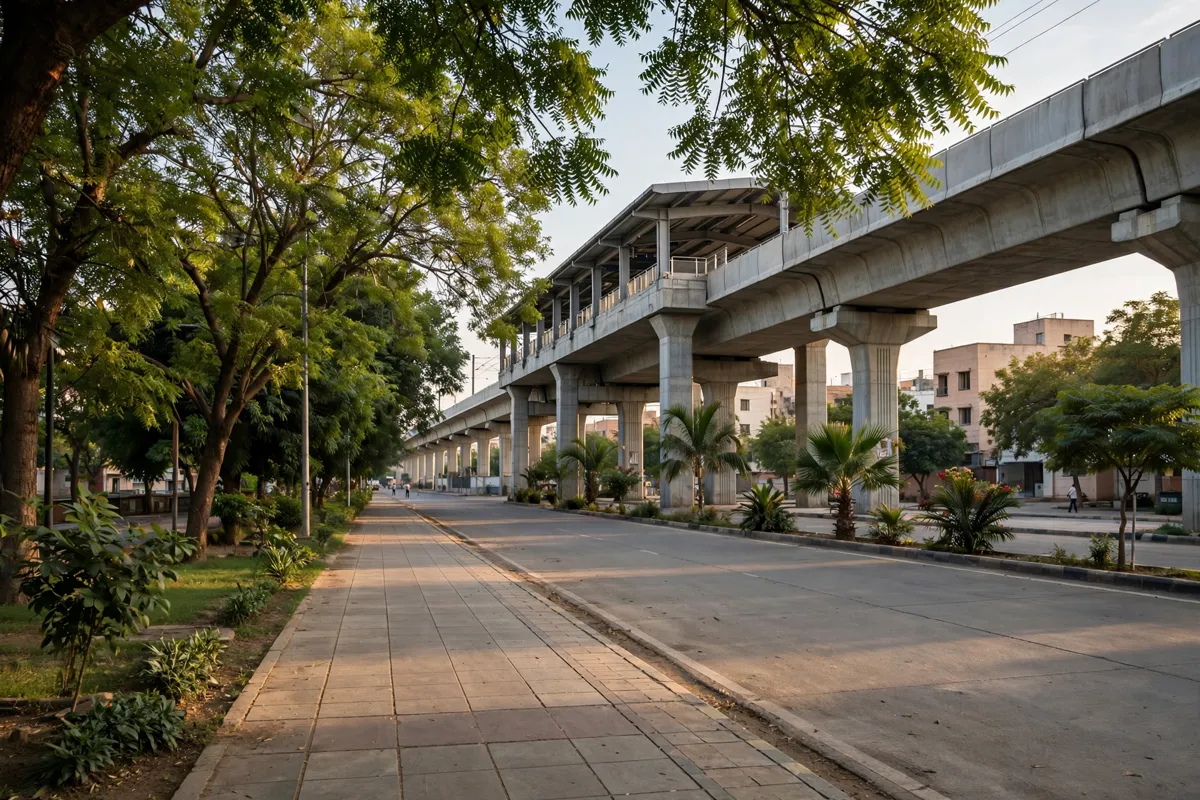
GMRC’s journey planner displays the single-journey token fare and estimated travel time for a selected trip. The displayed travel time is an estimate and may change, so allow extra time for your journey.
GMRC also provides passenger information about Smart Cards (CSC) and National Common Mobility Card (NCMC). Check the operator’s current passenger information for ticketing and service details before travelling.
How can you check metro connections and service updates?
Use GMRC’s route map to confirm your station and corridor, then use its journey planner to check the estimated trip time and token fare. The map and planner are the practical starting points for working out a connection across the network.
For airport arrival planning, the Sardar Vallabhbhai Patel International Airport to Gandhinagar guide covers the journey between the airport and the city.
For current operating details, check the official site before you go.
FAQs
Which metro corridor serves Sector-16 and Sector-24?
Both stations are on the Motera Stadium–Mahatma Mandir corridor, also identified as Corridor-1 in GMRC route information.
Is Juna Sachivalaya a metro station?
Yes. Juna Sachivalaya is listed as a station on the Motera Stadium–Mahatma Mandir corridor and is identified as an elevated station.
Where can you check a metro fare?
GMRC’s journey planner displays the single-journey token fare for a selected trip.
Does the journey planner show exact travel times?
It displays estimated travel times. GMRC says these may change and advises allowing extra travel time.